Houston sits on deep alluvial deposits of the Brazos and Trinity river systems, reaching thicknesses over 600 meters in some areas. These soft clays and loose sands can significantly amplify seismic waves from distant sources like the New Madrid zone. Our seismic microzonation studies integrate shear-wave velocity profiling, standard penetration testing, and local geology to produce site-specific ground response models. Before field work begins, we run a MASW survey to map Vs30 variations across the site, which directly informs the site class per ASCE 7. The combination of shallow geophysics and borehole data gives developers a clear picture of how the ground will perform during a seismic event.
A 10% difference in Vs30 can shift a site from Class D to C, changing seismic coefficients by 25% or more.
Methodology and scope
The city's explosive growth since the 1960s pushed development onto former wetlands and rice fields, creating a patchwork of fill thickness and variable soil stiffness across neighborhoods. Each microzonation study for Houston must account for this anthropogenic layer, which can mask deeper stratigraphy. We combine historical aerial photos, geotechnical borings, and georadar profiles to map the pre-construction surface. The output is practical:
Ground acceleration maps at 0.2s and 1.0s periods
Liquefaction hazard zones using NCEER SPT-based method
Recommended design spectra for IBC 2021 compliance
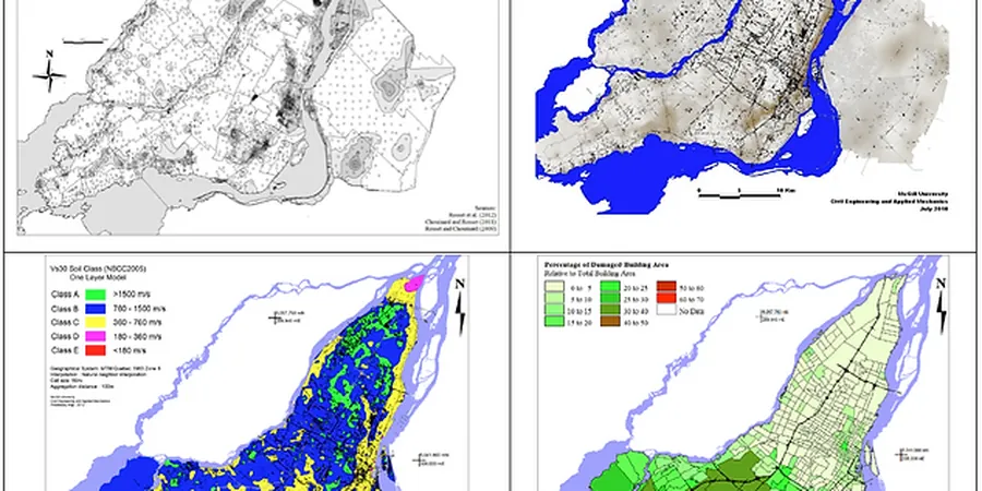
Technical reference image — Houston
Local considerations
Our field crew deploys portable seismographs and CPT trucks across Houston neighborhoods. The equipment must handle the heat and humidity of Gulf Coast summers while maintaining instrument stability below 0.1% drift. We install temporary sensors at 10-meter intervals along transects that cross known fault traces like the Conroe fault zone. Each rig carries a weatherproof enclosure with GPS time stamping and real-time data transmission to our lab. The biggest risk in Houston is mistaking a shallow sand lens for bedrock because of high SPT blow counts in cemented clays. That leads to under-designed foundations in a seismic event.
MASW and ReMi surveys to measure shear-wave velocity to 30 meters depth. Results classify the site per ASCE 7 Site Class A through F, with uncertainty bands for risk-averse designs.
02
Liquefaction Hazard Assessment
SPT- and CPT-based evaluation using Seed-Idriss simplified procedure and Youd-Idriss 2001. Maps liquefaction probability index (LPI) across your Houston lot for the 2% in 50-year event.
03
Ground Response Analysis
1D equivalent-linear SHAKE or DeepSoil models using recorded Houston motions from the USGS strong-motion network. Outputs include acceleration time histories, response spectra, and depth-dependent amplification factors.
Applicable standards
ASCE/SEI 7-22 Minimum Design Loads and Associated Criteria for Buildings, ASTM D4428/D4428M Standard Test Methods for Crosshole Seismic Testing, NEHRP Recommended Seismic Provisions for New Buildings (FEMA P-1050)
Frequently asked questions
What is the difference between a seismic hazard map and seismic microzonation?
Seismic hazard maps show regional ground motion predictions (PGA, Sa) for a uniform rock site. Seismic microzonation refines those values for local soil conditions: it accounts for soil amplification, basin effects, and liquefaction potential at a scale of 100 meters or less. Houston's deep clays can amplify rock motions by 2 to 4 times, so a microzonation study is essential for accurate design.
How much does a seismic microzonation study cost in Houston?
Typical costs for a residential or small commercial lot in Harris County range between US$4.760 and US$18.440. The price depends on site size, number of Vs30 profiles, and whether you need a full ground response analysis versus a simplified site class check. Contact us for a scope-specific quote.
Which Houston neighborhoods have the highest seismic risk?
Areas underlain by Beaumont Clay with high plasticity and shallow water tables, such as parts of Katy, Sugar Land, and southeast Houston near the Ship Channel, show higher amplification and liquefaction potential. Sites near the Conroe fault zone in northern Harris County also require special attention. We overlay microzonation results on parcel maps to identify critical zones.
Do I need microzonation for a small commercial building in Houston?
The 2021 IBC requires a site-specific ground motion study for Seismic Design Categories D, E, or F. Even for Category C, a microzonation can reduce design forces by improving the site class from D to C. It is a high-return investment in safety and cost.
Location and service area
We serve projects across Houston and its metropolitan area.